


Torneälvens upprinnelse
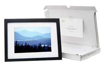 | The image is sent with a personal message to the address you provide. Click the button and select framing and cropping of the image. Orders before 3 PM working days will be sent the same day. Price $95, complete with frame and shipping. In cooperation with Tavlogram.se NOTE. Only for private use. Not for publication |

Here in the narrow strait near Jiegajarvi, Torneträsks water begins its 500 kilometre passage via the Torne River out into the Gulf of Bothnia. For most the journey, the river follows the border between Sweden and Finland, before flowing out near Haparanda. A shallow depression is seen to the left, where the frost has pressed up thousands of boulders from the wetlands.
Picture taken 2010-09-08Camera direction 296°
From position: Latitude: 68.165157 Longitude: 20.052298
Jiegajárvi Abisko Lappland Sweden © Copyright: Tomas E Johanson
You can purchase the image digitally for print or website use
Click on the top left corner of the image to open an email
Fill in your requests and send the email to us.
.